





Things are boiling over in Poznan. More than 4,000 people have already signed a petition against the city's plans to develop Ostrów Tumski. They believe that the new housing development will irrevocably destroy a place of great historical, urban and architectural value. The mayor comments on the protests in his typical style.
"Let's save Ostrów Tumski in Poznań" is just one of the slogans under which art historians, urban planners, archaeologists, environmentalists and community supporters, among others, have been protesting since May. They are objecting to the draft municipal zoning plan for the northern part of Ostrow. Planners from the City Urban Planning Studio envision a housing development there for about 5,000 residents with buildings up to 9 stories at the highest part (about 27 meters). Next door, on a separate area after the former thermal power plant, another local plan has already allowed for 4 years dense residential development for about 3,000 people.
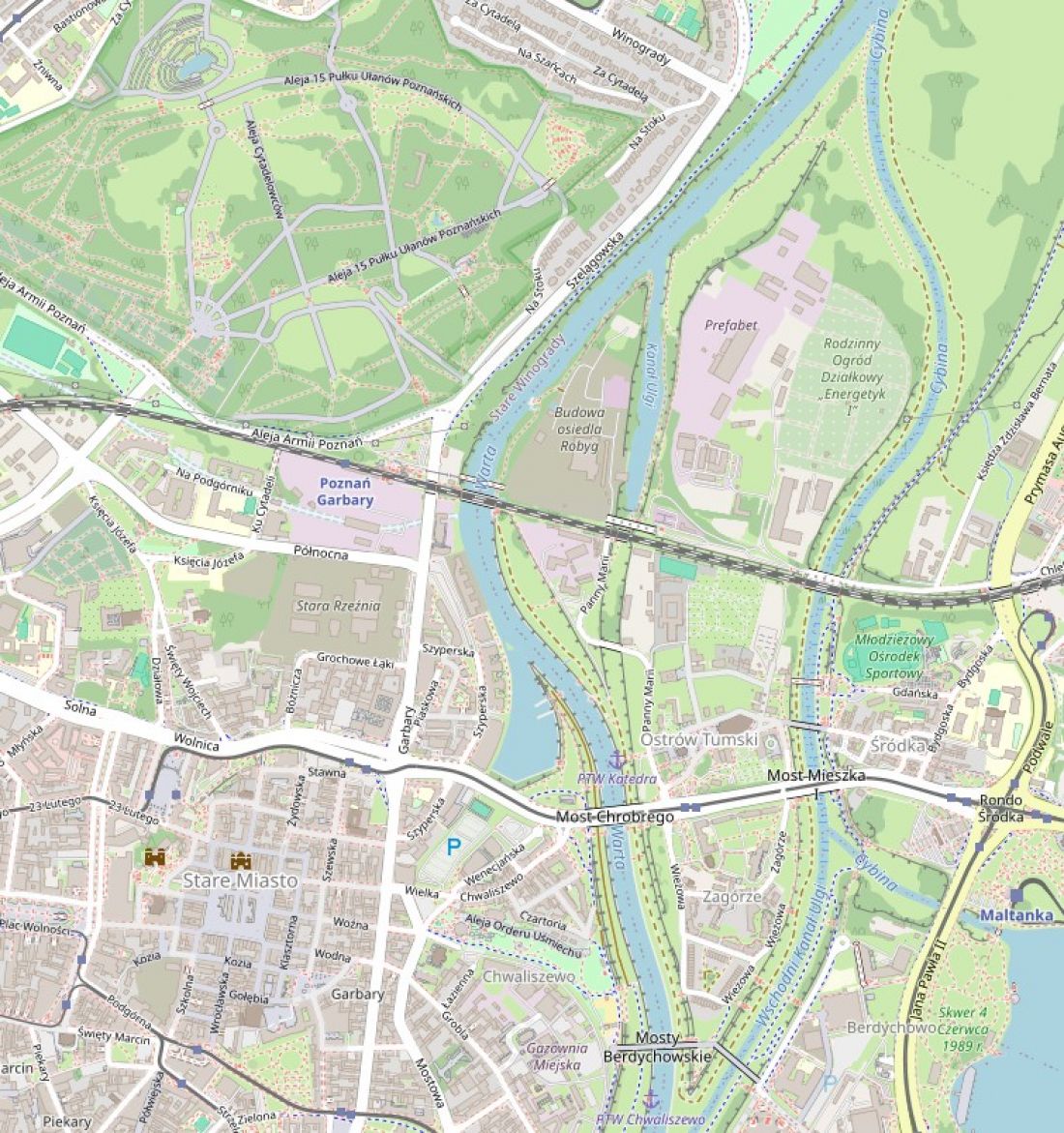
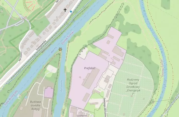
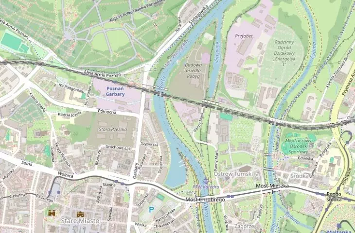
Ostrów Tumski in Poznań
source: openstreetmap.org
Protesters are focusing on four issues. The new development is expected to disturb "a landscape of the highest and historic cultural importance." In addition, archaeological layers from a thousand years ago, which have not yet been studied, would be destroyed . As a result of the removal of allotment gardens and other cuttings, the so-called northern green wedge (one of the four nature strips connecting the city center with the green outskirts) would also be depleted. Finally, the construction of blocks of flats with underground parking lots could disturb the course and level of groundwater and indirectly affect the condition of nearby monuments. More on these concerns in a moment. It's time to take a closer look at what they concern: the island and the planners' intentions.
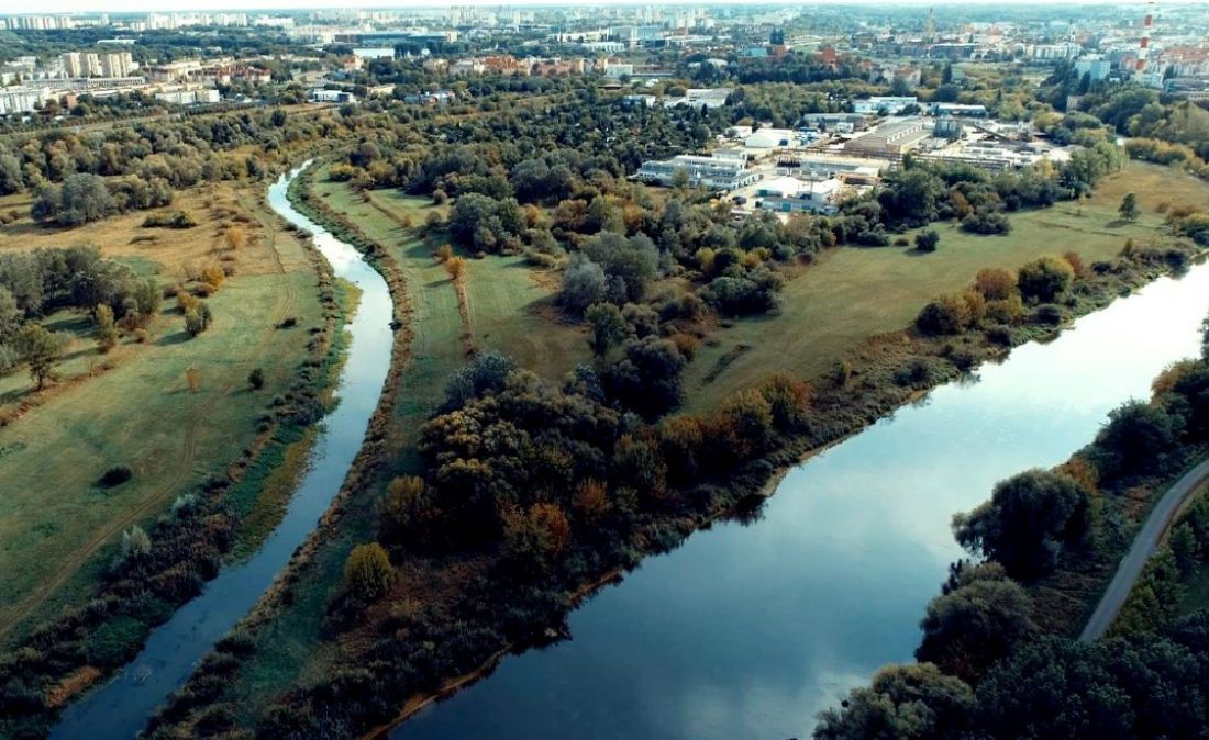
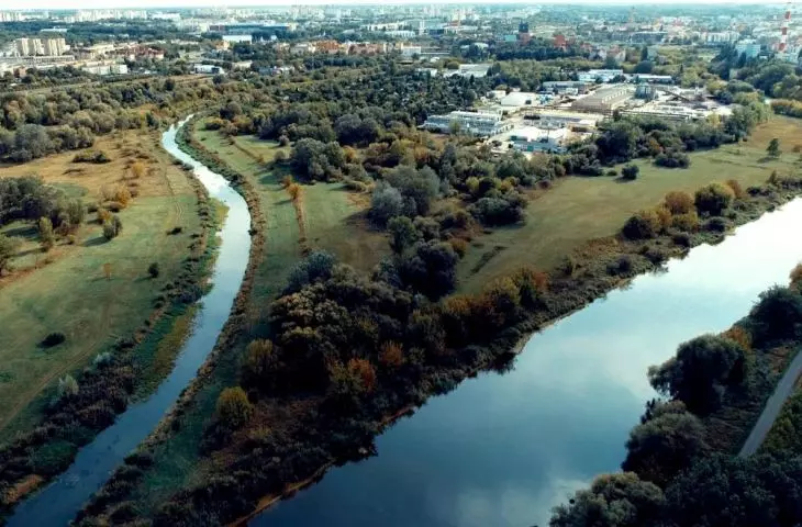
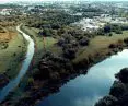
Ostrów Tumski in Poznań - northern part of Ostrów Tumski in the wedge between the Cybina and Warta rivers, on the left visible allotment gardens, on the right - former concrete plant and other factories, visible chimney of the thermal power plant (demolished in 2021), cathedral - in the depth, in the middle, drone view from the north, (excerpt from MPU presentation).
© Municipal Urban Planning Studio in Poznań, source: www.mpu.pl
national treasure
Ostrów Tumski (Cathedral Island ) is an island between the streams of the Warta River, its tributary, the Cybina River, and the relief channel connecting the two rivers to the south. It is located on the outskirts of the strict center and is part of the historic urban layout forming a string: Stare Miasto, Chwaliszewo, Ostrów Tumski and Śródka. The place is important for many reasons. First, it was , among other things, here that Polish statehood began to take shape. Second, the oldest cathedral in the country stands here , and in its vaults are deposited the remains of Bolesław Chrobry, Mieszko I and several Piast princes. Third, it is a very valuable architectural and urban complex. Finally, it is the site of unique archaeological discoveries. In short: the area is important for both Poznan and the entire country. This has been highlighted, moreover, in recent decades with the construction of, among other things, the Genius Loci archaeological reserve, the interactive history center Brama Poznania, and the creation of an award-winning art installation over the relics of Mieszko I's palace discovered here. The most important part of Ostrow has also been successively revalued, restored. More and more tourists visit it every year.
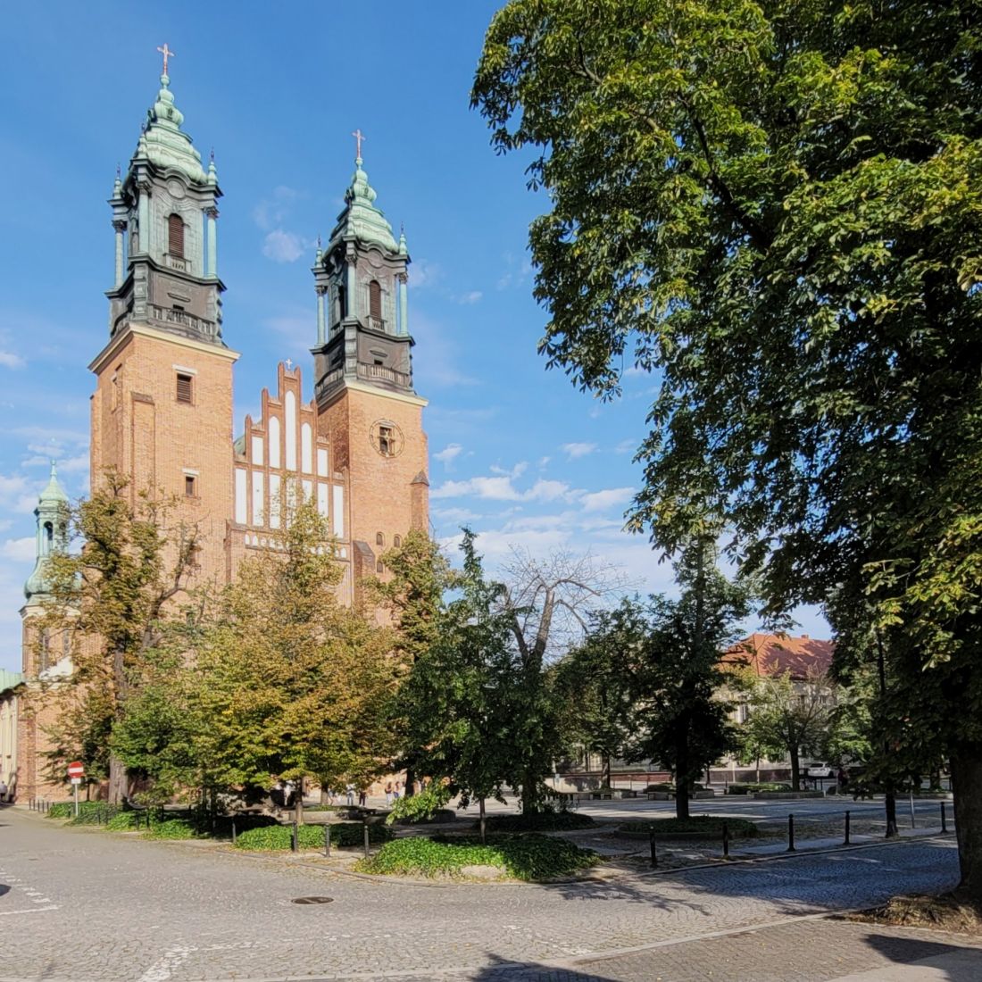
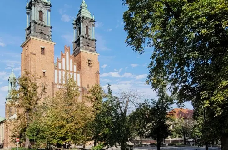
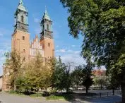
Ostrów Tumski in Poznań - cathedral and cathedral square, on the right - behind the trees you can see the roof of the cathedral rectory (next to the archbishop's palace)
photo: Jakub Głaz
This description applies only to the central part of the island, bounded on the north by the railroad route laid out in the early 1870s, and on the south by an expressway , the so-called Chwaliszewska route (Wyszyńskiego Street), which was brutally cut through the island in the 1960s. The southern part of Ostrów Tumski, known as Zagórz, is occupied by the historic complex of the seminary and various quality, rather loose and not very tall multi-family buildings and a complex of terraced houses from 6 decades ago. Since this spring, the southern end of Zagórz is connected by two successful pedestrian and bicycle bridges(the so-called Berdych bridges) with the Old Town, the Polytechnic University and the Lake Malta area.
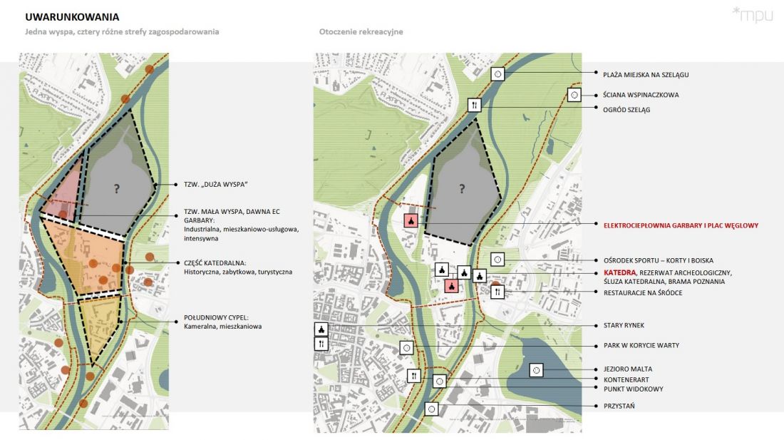
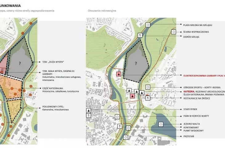
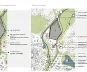
Ostrów Tumski in Poznań - analysis of Ostrow Tumski space / conditions (excerpt from MPU presentation).
© Miejska Pracownia Urbanistyczna in Poznań, source: www.mpu.pl
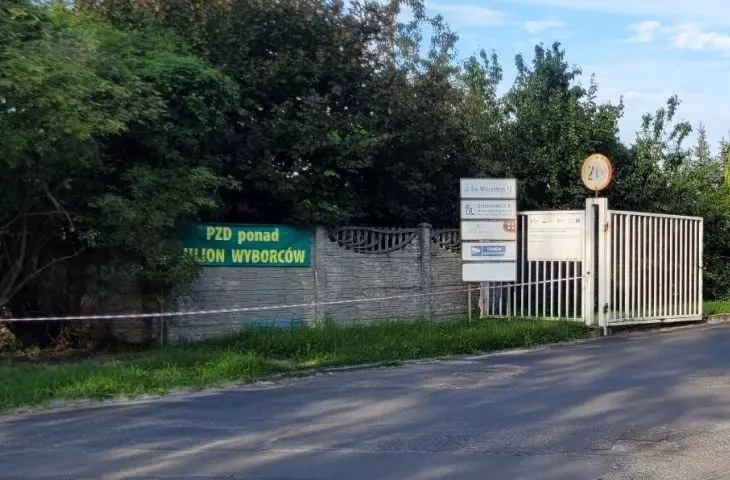
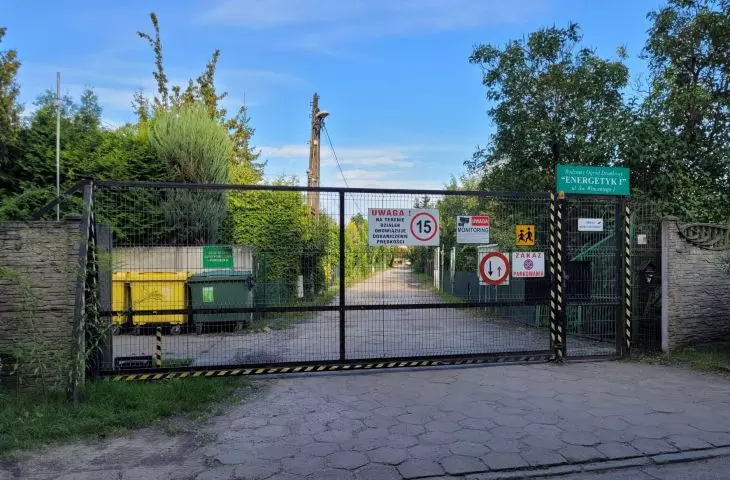
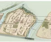
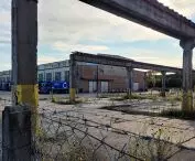
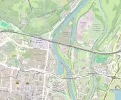
The subject of ongoing controversy, on the other hand, is the northern part - the largest and with a completely different character. This is a vast area cut off from the cathedral by the aforementioned railroad line to Gdansk and (since the 1920s) Warsaw. There are today on it, looking from the west: the buildings of the former thermal power plant from 1929, the former prefabricated concrete plant, several other plants, a driving school and the extensive Energetyk allotment gardens. On the water side, they are surrounded by lower-lying floodplains with lush greenery. The former thermal power plant is separated from the eastern part by an alley canal with a bridge over it, which has been closed for years.
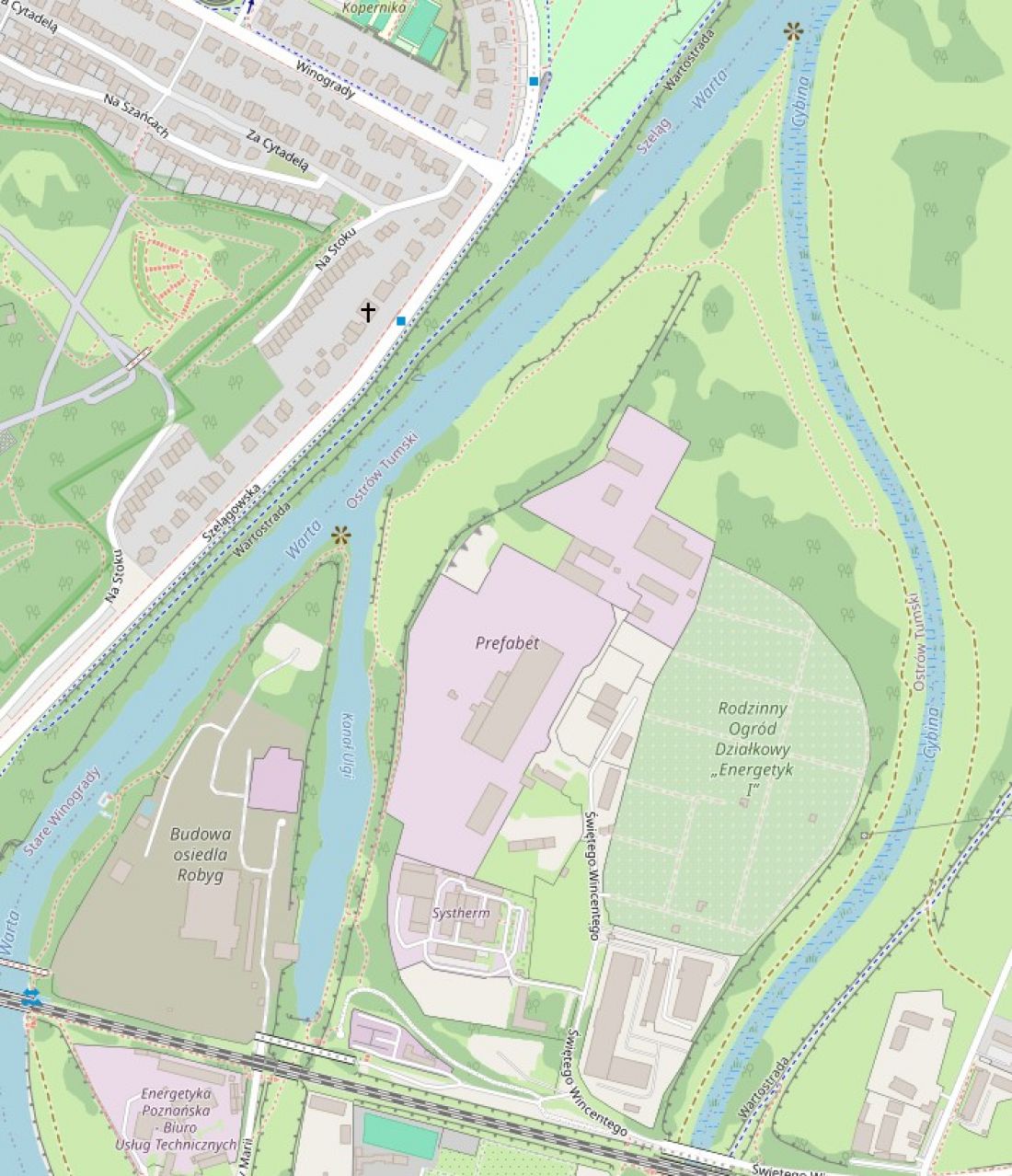
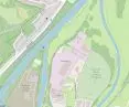
Ostrów Tumski in Poznań - northern part of the island
source: openstreetmap.org
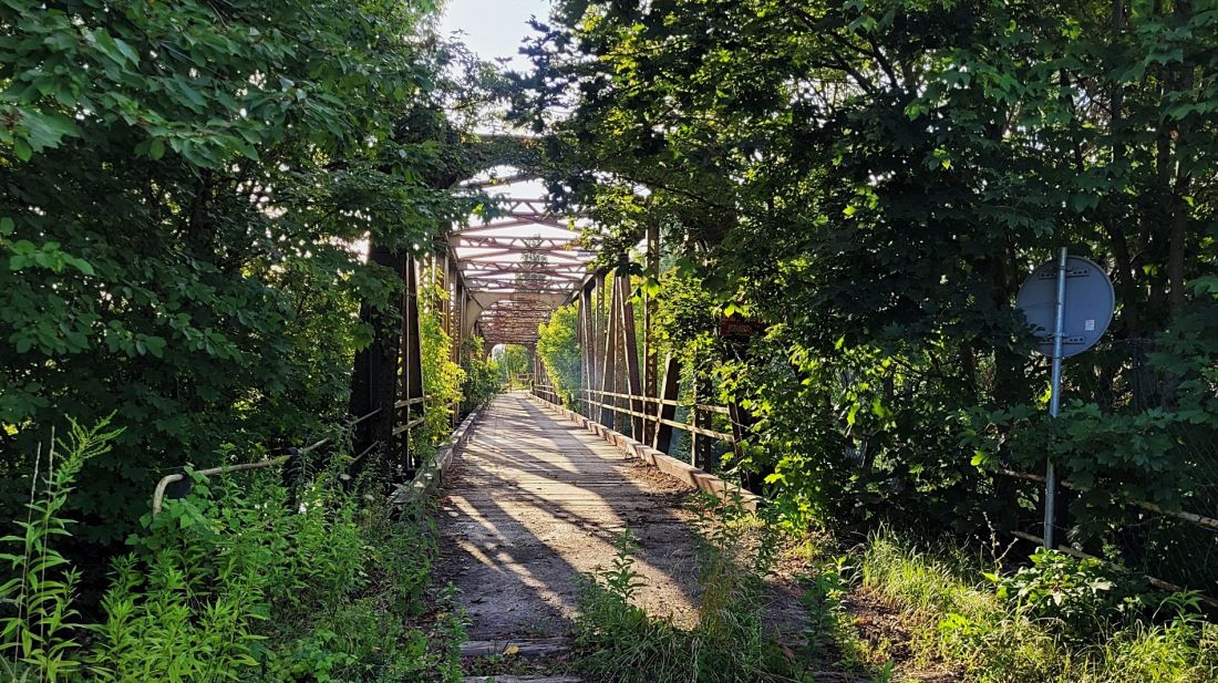
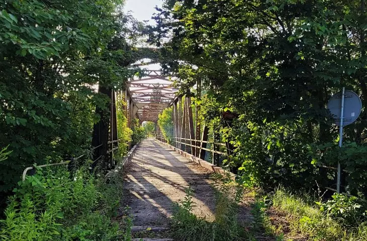
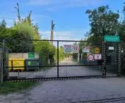
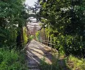
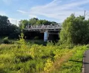
Ostrów Tumski in Poznań - disused bridge over the ulga canal separating the area of the former thermal power plant from the space for which a controversial master plan is currently being developed (view from the east, through the gate defending access to the bridge), thermal power plant buildings are on the right - behind the trees
Photo: Jakub Glaz
cut off does not mean just any!
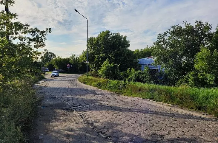
Access to this part of the island is quite difficult, with two narrow and inconvenient roads leading to it. The first is St. Vincent Street along the railroad bridge from the Zawady side, and the second is Maria Panna Street from the center. The area has never had a residential function. Until the 19th century it was wet meadows and floodplains. In the 19th century there were buildings of the Poznan Fortress ( mostly demolished) . The thermal power plant, concrete plant and allotment gardens are the legacy of the 20th century (that's when part of the area was elevated). Ostrów itself was not always an island either. The riverbeds of the Warta and Cybina rivers, as well as the relief canals connected to them, changed naturally or artificially. The area, despite being on the outskirts of the strict center, has always had a very peripheral character - cut off by the railroad, poorly connected, with the dominant role of industry did not encourage visitors.
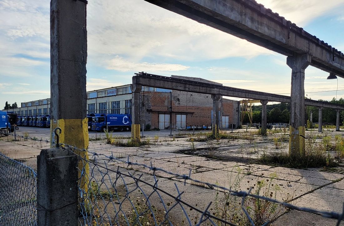
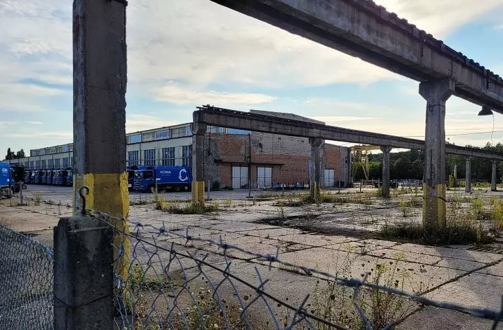
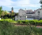
Ostrów Tumski in Poznań - former concrete factory on the northern part of the island, now a base of the municipal services company
photo: Jakub Głaz
In the postwar period, city plans did not envision residential development here, even in the distant future. The approach changed at the turn of the century. Twenty years ago, work began on local plans. The first one, mentioned at the beginning of the text - for the smaller area after the thermal power plant has been in effect since 2021. It allows for a very intensive supplementation of the post-factory and post-fortress monuments with residential and commercial development. Robyg has owned the site for six years . Despite many announcements, it has not started construction or presented up-to-date investment concepts (it has only cleared the area of worthless buildings and cut down a lot of greenery).
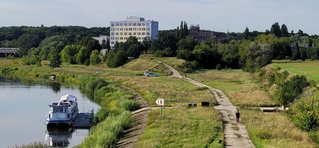
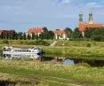
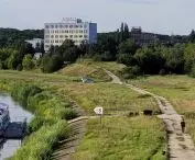
Ostrów Tumski in Poznań - view from Chrobrego Bridge (from the south) to the area of the former thermal power plant (EC Garbary), on the left Warta River, opposite the 1970s office building of power engineers on Panny Maria Street, next to it, on the right, in the background: historic power plant building from 1929, Ostrów Tumski with the cathedral - on the right, out of frame
Photo: Jakub Głaz
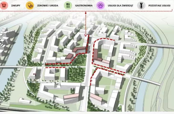
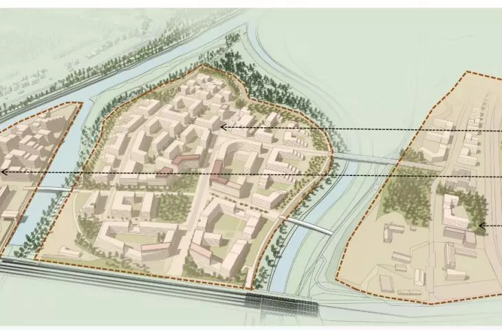
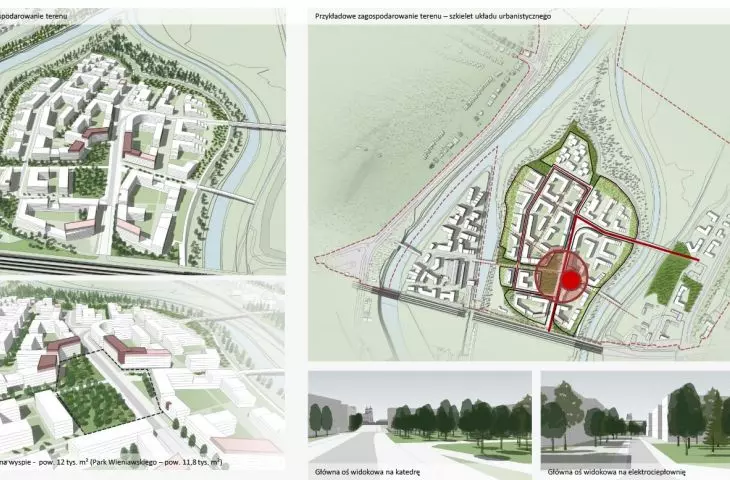
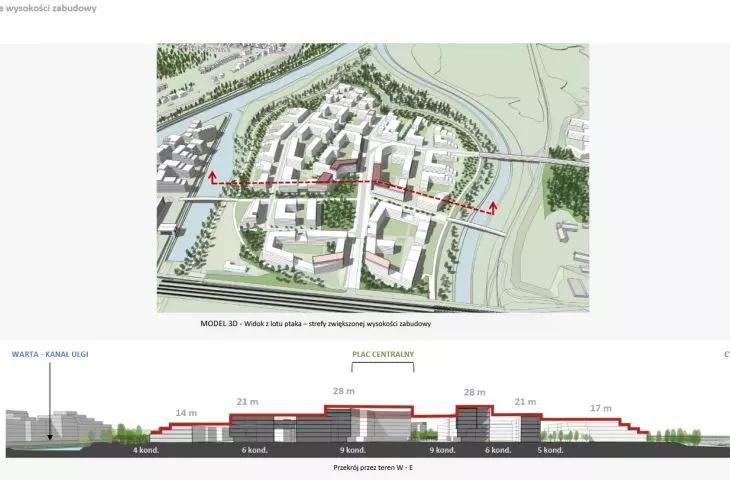
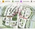
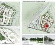
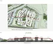
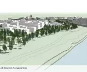
The protests, which are now intensifying, concern the ideas enshrined in the second, more extensive plan. A public discussion of its assumptions was held in the spring. On the land now owned by the City, planners have drawn in relatively dense multi-family housing with a central green square, as well as residential and commercial development areas to the south and north. The height of the buildings: from 28 meters (9 stories) in the middle of the establishment to 14 meters on its periphery, with the fact that along the edges the buildings terrace down towards the water (up to several meters high). The roofs of all buildings on the island are to be flat.
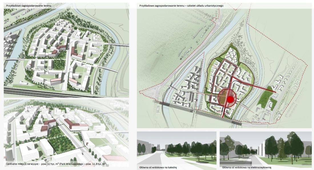
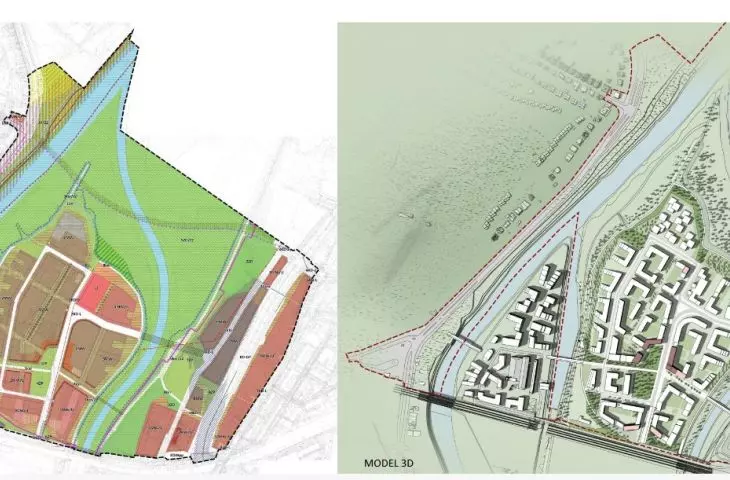
Ostrów Tumski in Poznań - approximate shape and structure of buildings allowed by the draft local plan (excerpt from MPU presentation).
© Miejska Pracownia Urbanistyczna in Poznań, source: www.mpu.pl
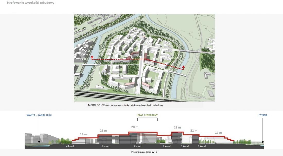
Ostrów Tumski in Poznań - analysis of height of proposed buildings
© Urban Planning Studio in Poznań, source: www.mpu.pl
Services in the residential part are allowed in the first floors of the frontages surrounding the main square and its adjacencies. In the northern part there is also a reserve for public services, including education. In addition, planners exclude collective housing services (to prevent the creation of so-called micro-apartments). Transportation service is to be improved by three new footbridges: two over the Cybina River, and one over the relief canal by the thermal power plant. We should add that service and residential areas calculated for 3,000 residents are also envisaged in the new plan behind the Cybina, in the vicinity of the island, in Zawady, in the area of Bernata Street. Who is to build these houses? Once the local plan is passed, the City plans to sell its land to developers.
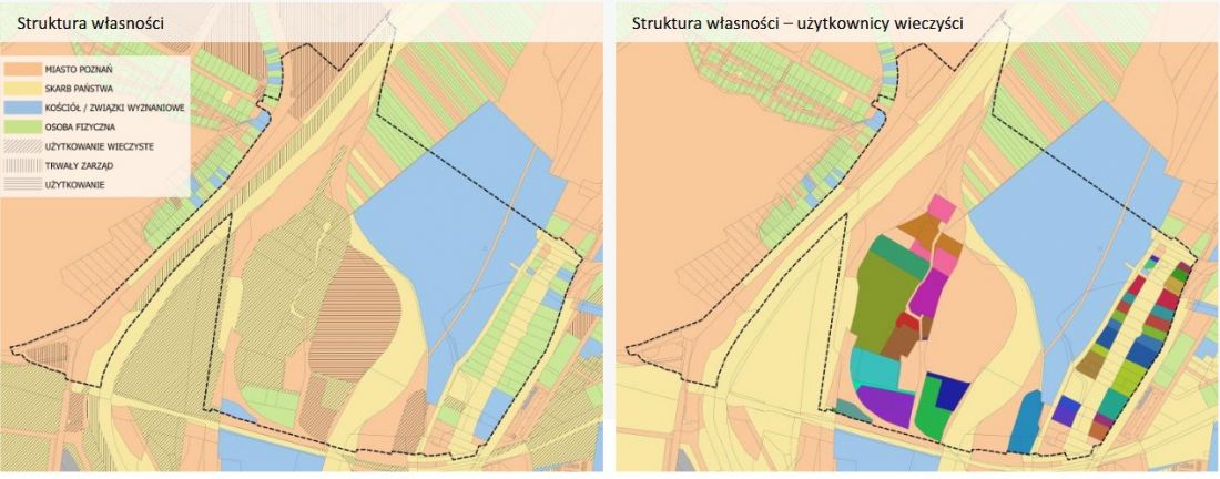
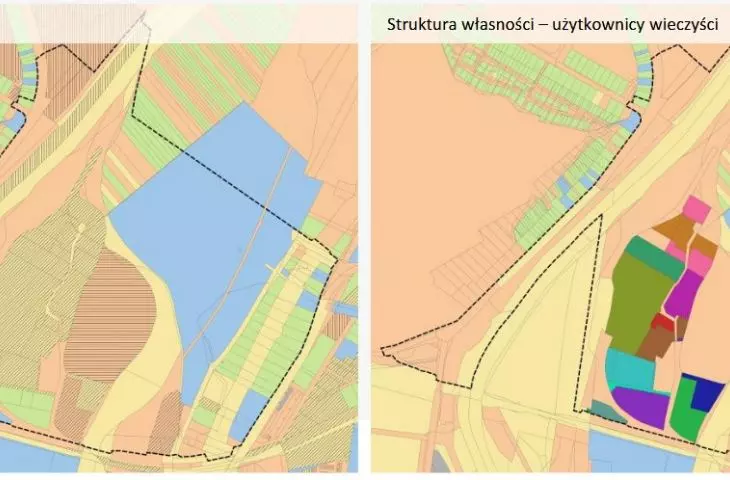
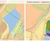
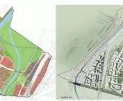
Ostrów Tumski in Poznań - land ownership structure of the northern part of the island (excerpt from MPU presentation).
© Municipal Urban Planning Studio in Poznań, source: www.mpu.pl
false visualizations or no visualizations
A campaign against such intensive block housing (flat roofs) was launched in the spring by the Poznań branch of the Association of Art Historians (earlier there were also protests by users of allotment gardens, which the city intends to move to another location). Historians wrote, among other things:
let's not let a trivial housing development turn out to be the only idea for developing the northern part of Ostrów Tumski.
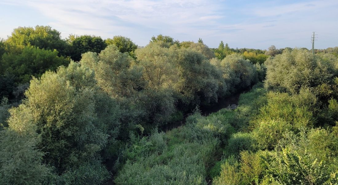
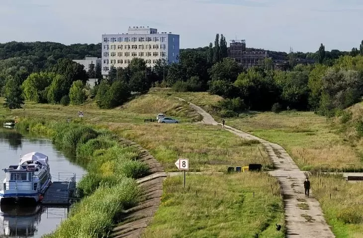
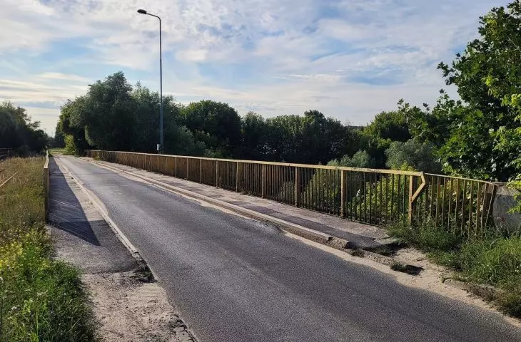
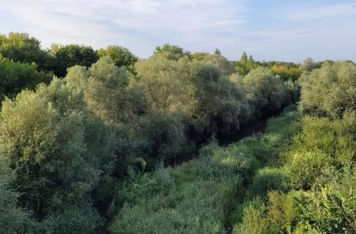
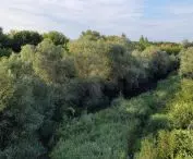
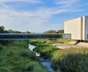
Ostrów Tumski in Poznań - view from the south from the road bridge between Zawady and the northern part of Ostrów Tumski intended for a housing development (left), with the Cybina River in the middle in an overgrown riverbed
Photo: Jakub Głaz
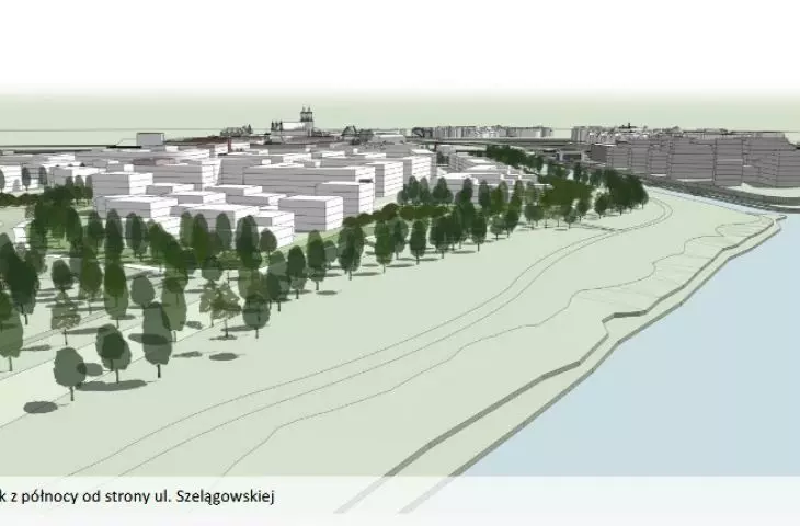
The protest was also reinforced by a visualization drawn up on the spur of the moment. It showed the cathedral and Ostrow's skyline against a background of rather ghastly tall skyscrapers, which would be built in the northern part of the island. The image, however, was quickly removed from pages and profiles about the protest, as it rather missed the planned reality. The trouble, however, is that the planners, in a carefully prepared presentation, did not show Poznań residents an alternative view from the same spot. They only assured that the panorama would not be disturbed by any new building. Moreover, they explained to the media that the area is currently degraded and should finally be transformed, and besides, it is effectively isolated from the historic part of Ostrów Tumski by a busy railroad route, which is yet to be widened with an additional track in the future.
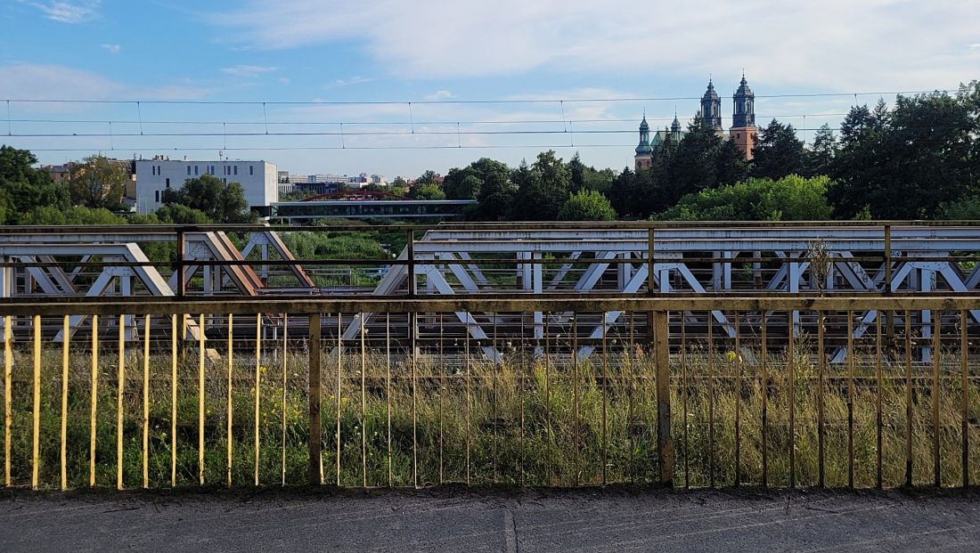
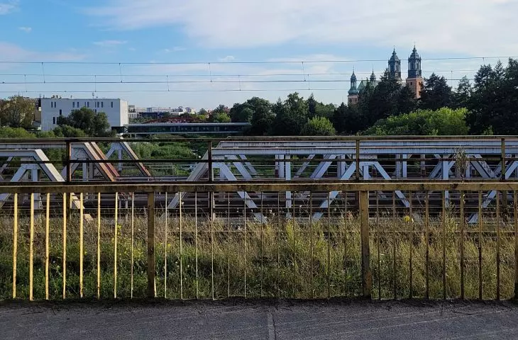
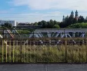
Ostrów Tumski in Poznań - view from the northern part of the island from the road bridge over the Cybina River towards the central part of Ostrów Tumski, the trusses of the parallel railroad bridge are visible, behind them on the left, the Gate of Poznań, on the right - the cathedral; other bridges are visible: the footbridge of the Gate of Poznań, the arch of the Bishop Jordan Bridge. the Mieszko I Bridge, in the background - the campus of Poliuetchniki on the eastern bank of the Warta River and the relief canal, behind the campus - the high-rise residential buildings of the Rataje district
photo: Jakub Głaz
City representatives also claim that residents of all of Poznań will also gain new attractive walking and recreational areas around the development. It must also be said that in a careful analysis, MPU considers the weaknesses and strengths of the site and the plan. Among the weaknesses it counts poor transportation accessibility (including for pedestrians) and the
thelack of any social infrastructure - the need for access to all basic services.
Among the threats, he also sees "the creation of a settlement only for a narrow group of island residents" and the high cost of investment and housing.
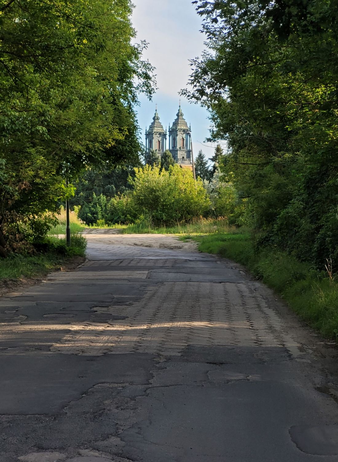
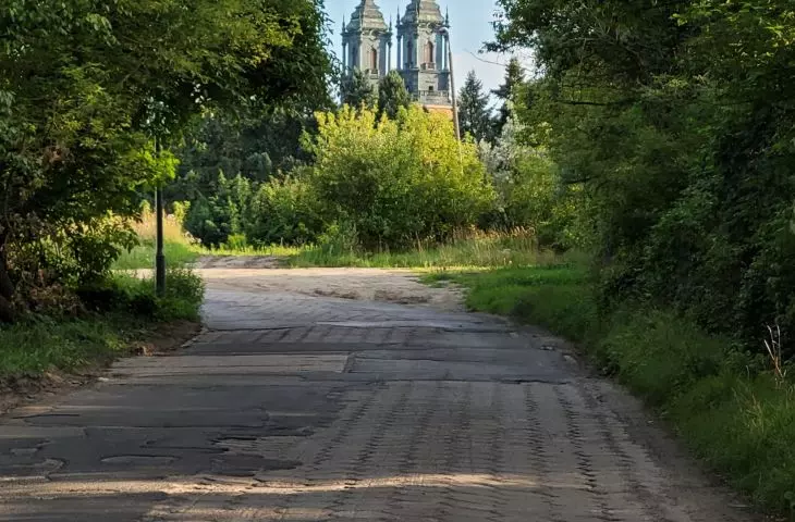
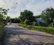
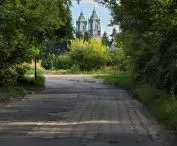
Ostrów Tumski in Poznań - view from the road serving the northern part of the island to the cathedral towers
photo: Jakub Głaz
The subject of MPU's concern, however, is not the issues mentioned at the beginning, raised by the protesting circles of art historians, urban planners, communication specialists, architects and environmentalists. The protest , by the way, is not against any investment in the area. What is at stake is a far-reaching modification of the plans: less intensive development, a more refined urban layout, increased requirements for the quality and shape of architecture. Also in play is an increase in the area for recreationand leisure among greenery. Finally, there is a very strong call for a solid archaeological study.
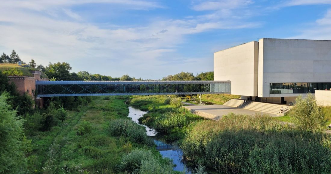
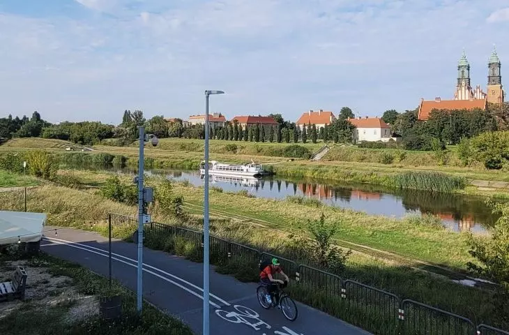
Ostrów Tumski in Poznań - view from Mgr. Jordan Bridge (over the Cybina River), in the foreground the Gate of Poznań and its footbridge (behind it the railroad bridge, not visible in the photo), in the background on the left - the northern part of the island intended for residential development
Photo: Jakub Głaz
competition, bypass and politics
The demands formulated in this way seem reasonable, especially since it will be very difficult to provide proper transportation services to the intensively developed area (there is no answer as to whose money the planned footbridges will be built with, for example). At the same time, the city consistently avoids the topic of an investment that could solve this problem. The issue is the construction of a downtown bypass (the so-called 1st framework) along the railroad tracks. Firstly, it would make it possible to move traffic from the Chwaliszewska route, which is harmful to the fabric of the city and cuts Ostrów from the south, and secondly, the northern part of the island would be served in an optimal way.
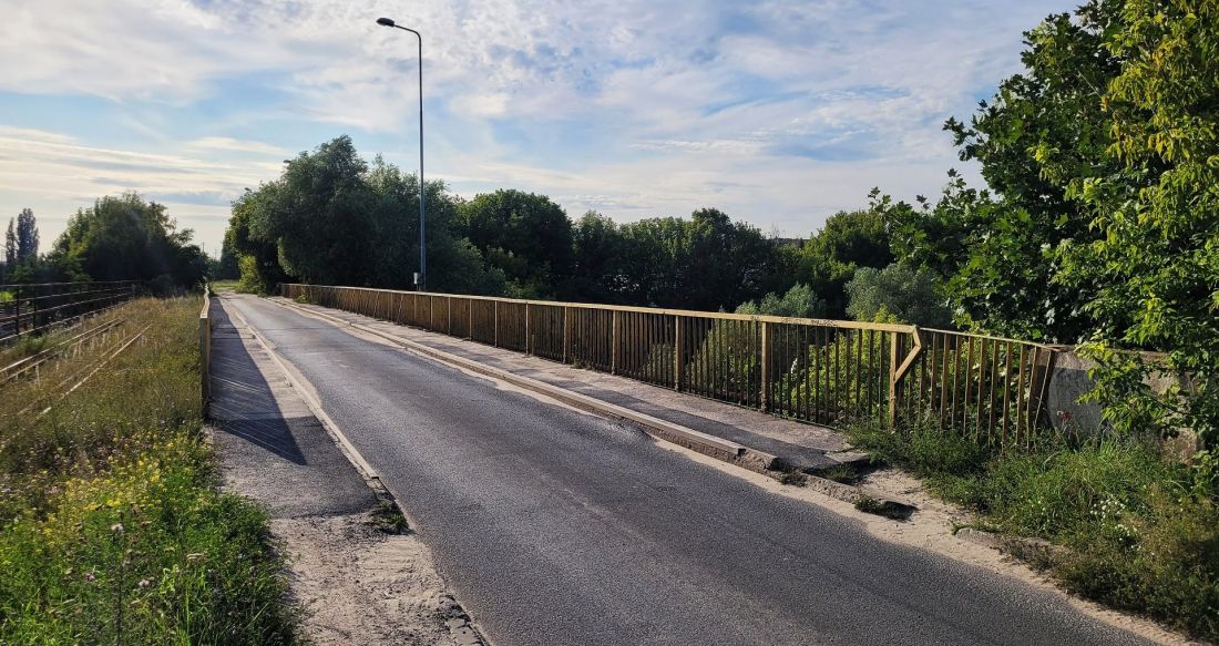
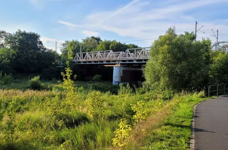
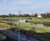
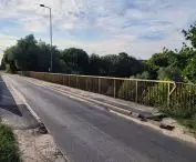
Ostrów Tumski in Poznań - the only active bridge crossing over the Cybina River leading to the northern part of Ostrów Tumski included in the local plan under development, view from the east, from Zawady; on the left - the railroad route, on the right, in the background - the area intended for block housing development
Photo: Jakub Głaz
There is another important demand raised by the protesters. They call for holding a decent urban-architectural competition for the development of the northern part of Ostrow. The idea is worth considering, especially since the analytical work already done by MPU may be part of the terms of the competition. The historians' circles also want a meeting with the city authorities and a substantive debate. Whether it will happen. The chances are diminishing. On Thursday, August 7, Mayor Jacek Jaskowiak commented on Facebook on this and other protests about Poznan's planning. He did so in his typical style dismissive of public voices and enriched with anecdotal examples unrelated to the specific problem. Here is a sample:
Often there is simply a desire to extract money from the city, for example, under the pretext of fighting for nature conservation. It is not difficult to convince residents that in order to save the greenery in their neighborhood, a natural monument must be established. And this is already the basis for compensation claims against the city for many millions of zlotys, of which the development companies are well aware. It is not uncommon for protests - under the guise of defending tenants' rights - to be spun from purely business motives. Even more often - as in the case of Ostrow Tumski - from purely political motives.