








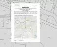



Data for plot due diligence - from the master plan to CAD layers in the design environment
In the practice of a design office, due diligence on a parcel of land rarely begins with an architectural concept. It starts with data - scattered, published in various standards, often in the form of PDF, WMS or scans of resolutions.
The municipality's general plan, zoning, EGiB, environmental, infrastructure and elevation data all function in different records. Gathering them into a coherent project environment takes time and manual verification. For larger developments, this stage can sometimes be longer than the conceptual analysis itself.
The key for the architect is whether it is possible to move from formal analysis to working on CAD layers without tedious data processing.

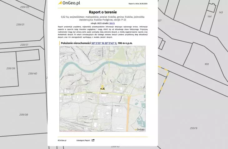
OnGeo.pl Terrain Report
© ONGEO
The master plan as a new level of design risk
Land use planning reform is changing the focus of analysis. The master plan is no longer a theoretical document, but becomes the basis for further planning decisions and future development parameters. For the designer, this means the need to verify: whether the municipality has an enacted general plan, whether its development is underway, which planning zones cover the analyzed plot.
In a situation where an investor acquires land during the planning procedure, the risk of a change of use or development parameters is real. This is no longer just an urban planning issue, it is part of the due diligence of the investment.
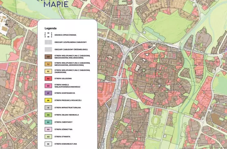
Monitoring of master plans in the National Geoportal on the Map (geoportal-krajowy.pl) allows a quick check of the status of work on a national scale and insight into the boundaries of studies. For the project office, it is a tool for preliminary assessment of planning risks even before conceptual analyses begin.
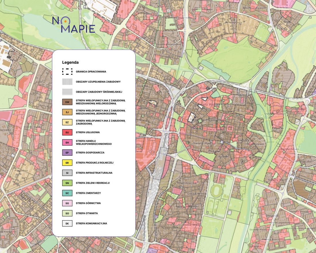
Interactive POG map in Geoportal-on-Map
© ONGEO
Plot due diligence in the practice of an architect
In a design environment, due diligence does not mean drafting a legal opinion. It means collecting and organizing the data that determines: the absorptive capacity of the plot, the parameters of development, various restrictions, or access to infrastructure.
The problem is that this data comes in different formats and coordinate systems. Architects mostly get the zoning resolution in PDF, a WMS layer without export capability, or an overview map without georeferencing. Integrating this into a single design model requires data conversion, cleaning and transformation.
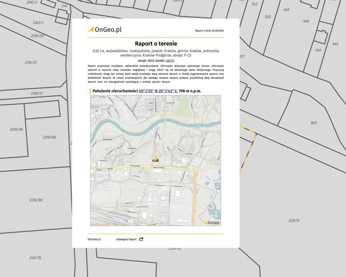
Sample OnGeo.pl Terrain Report: ongeo.pl/reports/example-report
© ONGEO
OnGeo.pl Terrain Report as a source of CAD layers
OnGeo.pl Terrain Report is a service that allows you to generate a complete analysis of a selected plot of land in 5 minutes. After indicating the location on the map, the system automatically generates a readable document in PDF format, including up to 80 pages of maps, summaries and spatial analysis of the selected plot. The OnGeo.pl Land Report is not a substitute for the due diligence process, it provides input for the process.
At the same time, the user receives a packet of source spatial data in CAD/GIS formats. This includes the same information in the form of structured vector and raster layers, ready for direct import into the design environment.

The CAD/GIS data packet eliminates the manual step of acquiring data for analysis
© ONGEO
Range of analytical data in the OnGeo.pl report
OnGeo.pl's terrain report integrates planning (POG, MPZP), registration, land development and road infrastructure data. This allows for instant verification of land use, boundaries, building outlines and connection conditions, laying the foundation for a reliable assessment of a property's absorption and investment potential.
The analysis is complemented by advanced physiographic parameters, including elevation models (NMT, NMPT) indicating slopes and insolation, and data on environmental risks such as floods and landslides. By including hydrographic, geologic and environmental layers, the user gets a complete synthesis of the urban and terrain context in a single, standardized study.
Format and integration in the design environment
Data is made available in formats used in design practice, for vector data: DWG, DXF, GPKG. While for raster data, formats: TIF and PNG.
The important thing is that the layers are grouped thematically, prepared in a single coordinate system and ready to be directly plugged into the design model.
In practice, this means eliminating the step of manually compiling data from a dozen sources and converting them to CAD format. For the project team, it's the difference between several hours of analytical work and starting modeling immediately.
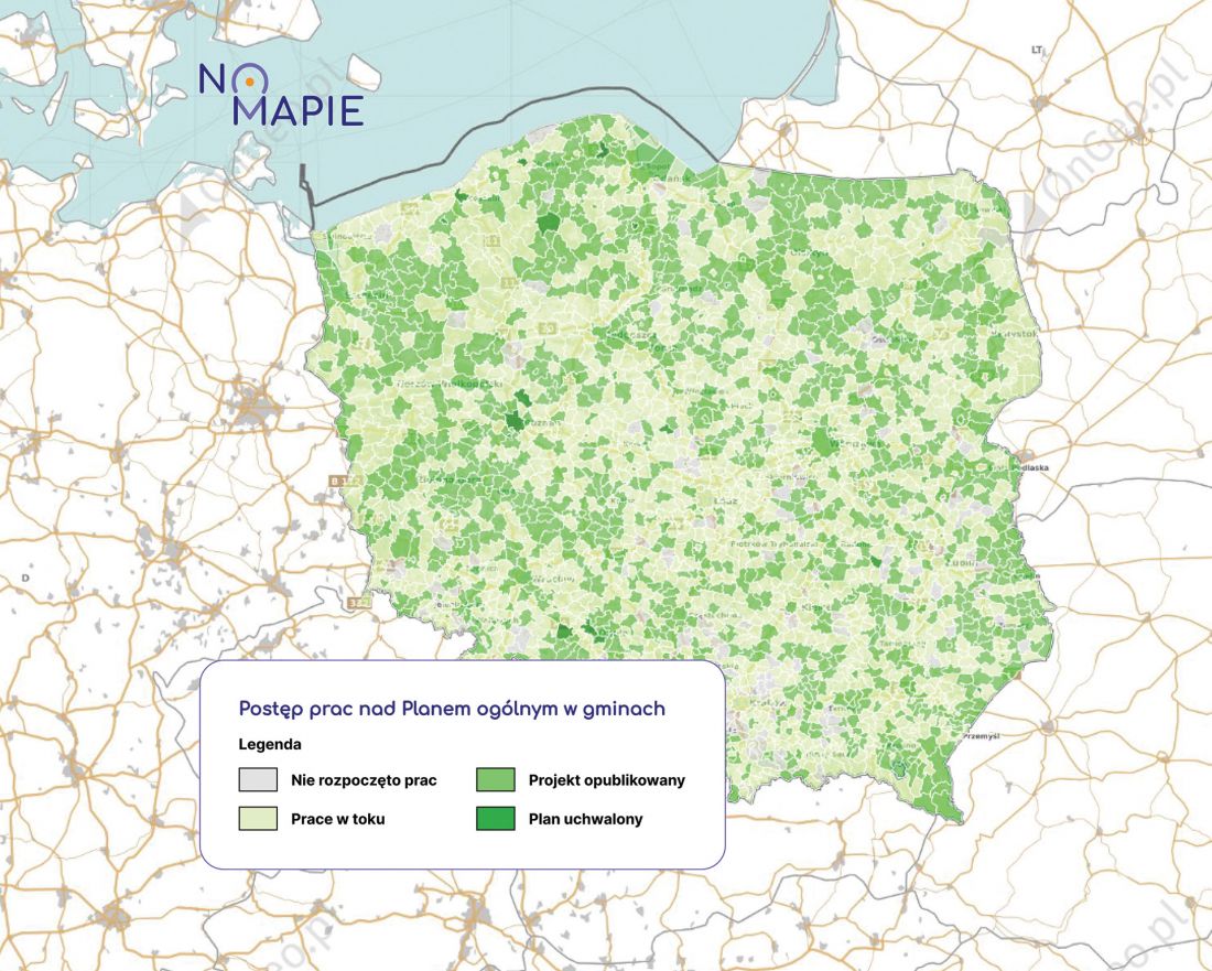
Monitoring Master Plans In Geoportal On Map: geoprotal-krajowy.pl
© ONGEO
From formal analysis to design decision
Integration of planning and elevation data in the CAD/GIS standard changes the working model from passive collection of documentation to active analysis of standardized spatial layers. This allows rapid assessment of plot absorption and identification of risks before the concept stage, which in the face of planning reform ceases to be a formality and becomes a condition for investment security.
Although the system radically shortens the most time-consuming due diligence stage, the OnGeo.pl Report is no substitute for a full legal analysis. The tool provides precise data and organizes the process, but the final design decision and responsibility for interpreting the results remain with the expert team.
For more information, visit the company's OnGeo page on the A&B portal.